The Canadian County Atlas Digital Project
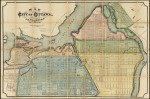
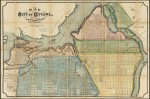
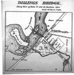
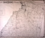
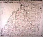
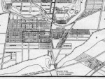
On the Search page, select a county, township or town from the drop-down menus at the top of the page and then click on the Get Map button. Many maps have links to a much larger multi-megabyte version underneath them.
In Search of Your Canadian Past: The Canadian County Atlas Digital Project
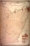
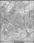
Here’s a direct link to an 1879 map of Carleton County. Click on a township on the map to display it.