Trainyards Aerials – 1958 – 2014
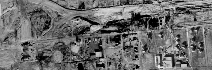
From geoOttawa.
From geoOttawa.
Original photographer unknown.
From geoOttawa and Google Maps.
Original photograph by James Topley.
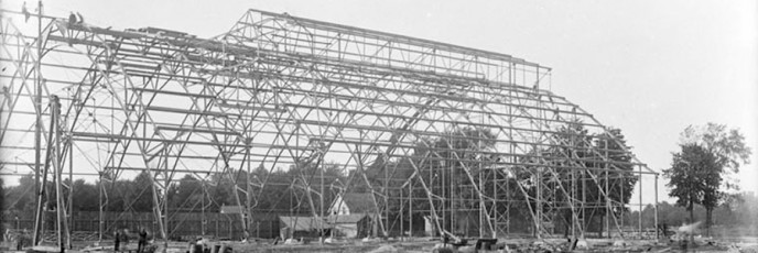
Original photographer unknown.
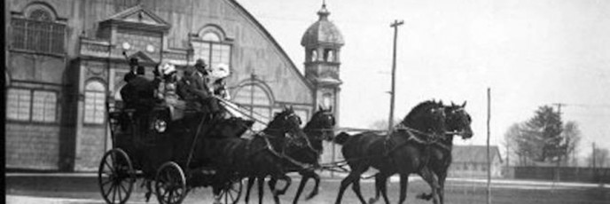
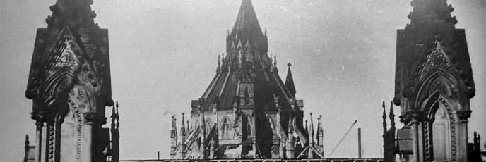
Original photograph by William James Topley.
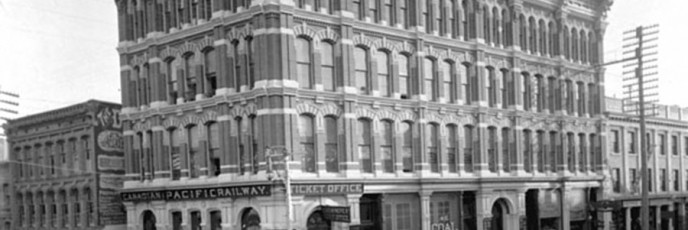
Original photo by James Ballantyne.
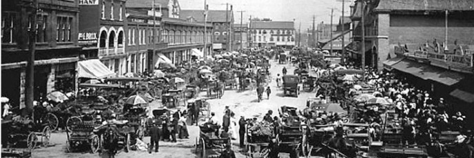
Original photo from Ross Dunn. Original photographer unknown.
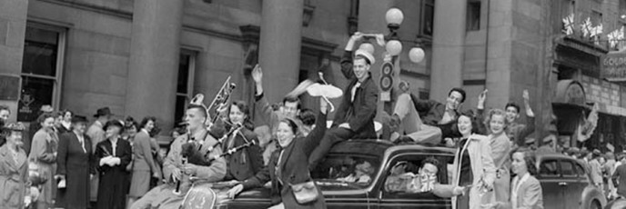
Impromptu V-E Day celebration on Sparks Street, May 1945. Original photo from: LAC.
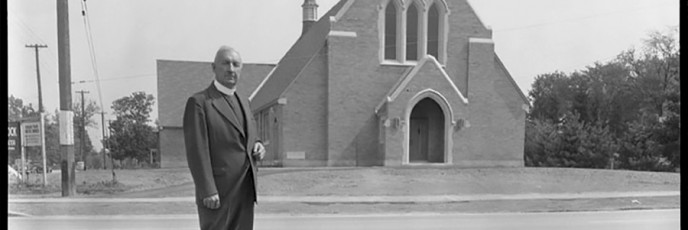
Original photo by “Newton”, Ottawa Citizen, December 23, 1955
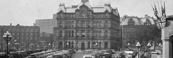
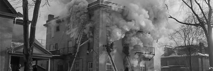
Original photo by Cliff Buckman, September 10, 1955
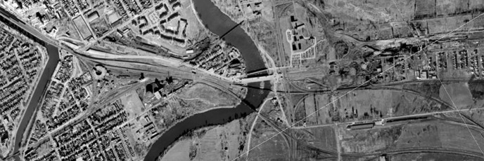
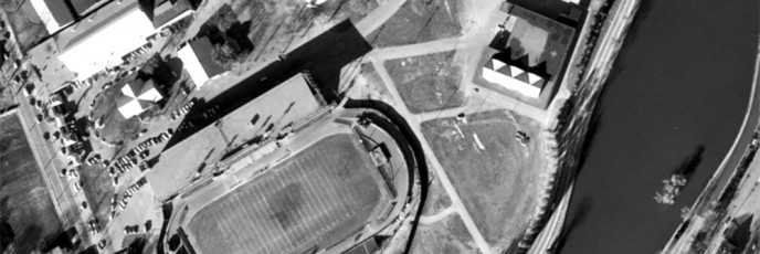
From geoOttawa.