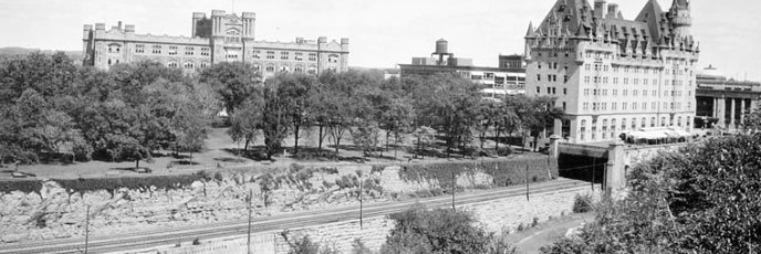
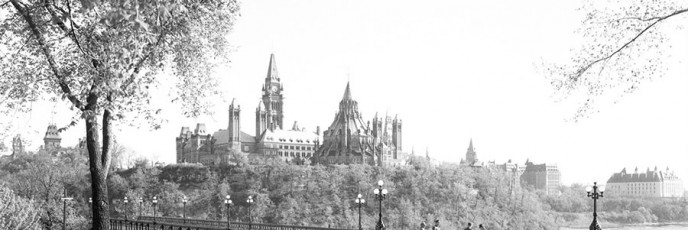
Nepean Point – 1900 & 2013
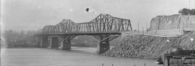
Original pictures taken soon after the Royal Alexandra Bridge was completed in 1900 by William James Topley.
Original pictures taken soon after the Royal Alexandra Bridge was completed in 1900 by William James Topley.
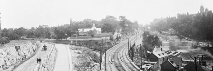
Original picture taken in 1901 by James Ballantyne.
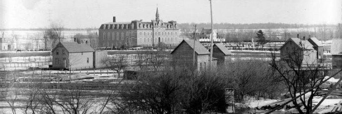
Original photo is from the Department of Interior Fonds at LAC.
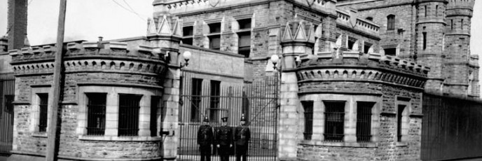
Original photo is from the Department of Interior Fonds at LAC.
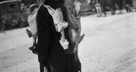
Man selling chickens in the Byward Market. Original photo taken by John Boyd, December 23, 1926.
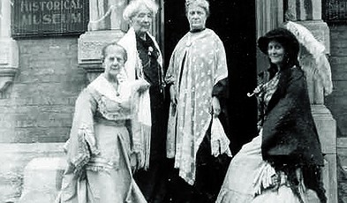
In 1926, the City Registry Office became the Bytown and Ottawa Historical Museum as well as home to the Women’s Canadian Historical Society of Ottawa.
From Urbsite: NEPEAN POINT FOOTBRIDGE
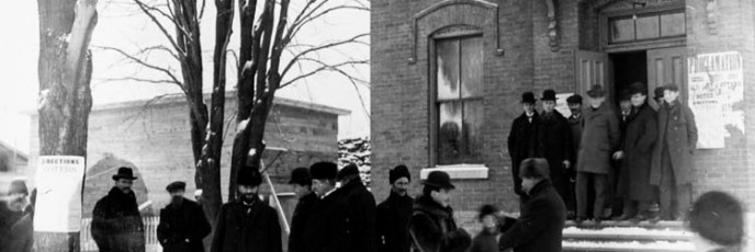
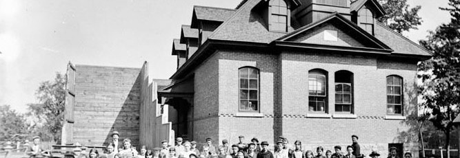
The Town Hall is located on the corner of Main Street and Hawthorne Avenue in Old Ottawa East. The original pictures were taken by James Ballantyne between 1895 and 1912.
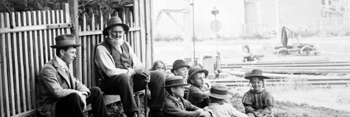
Purdy was a guard for the Canada Atlantic Railway Line (now the Queensway). He manned the Main St. crossing in Ottawa East near the canal.
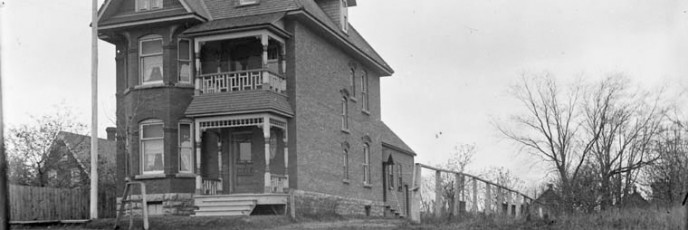
Original pictures taken between 1889 and 1896 by James Ballantyne. Ballantyne lived just up the street at 54 Main and was an amateur photog and founding member of the Ottawa Camera Club.
Original photos taken by James Ballantyne between September 1898 and October 1900.
Original photo taken by James Ballantyne on November 8, 1900.