Previous First Last Thumbnails
Previous First Last Thumbnails
Url: http://data2.archives.ca/e/e432/e010775263-v8.jpg
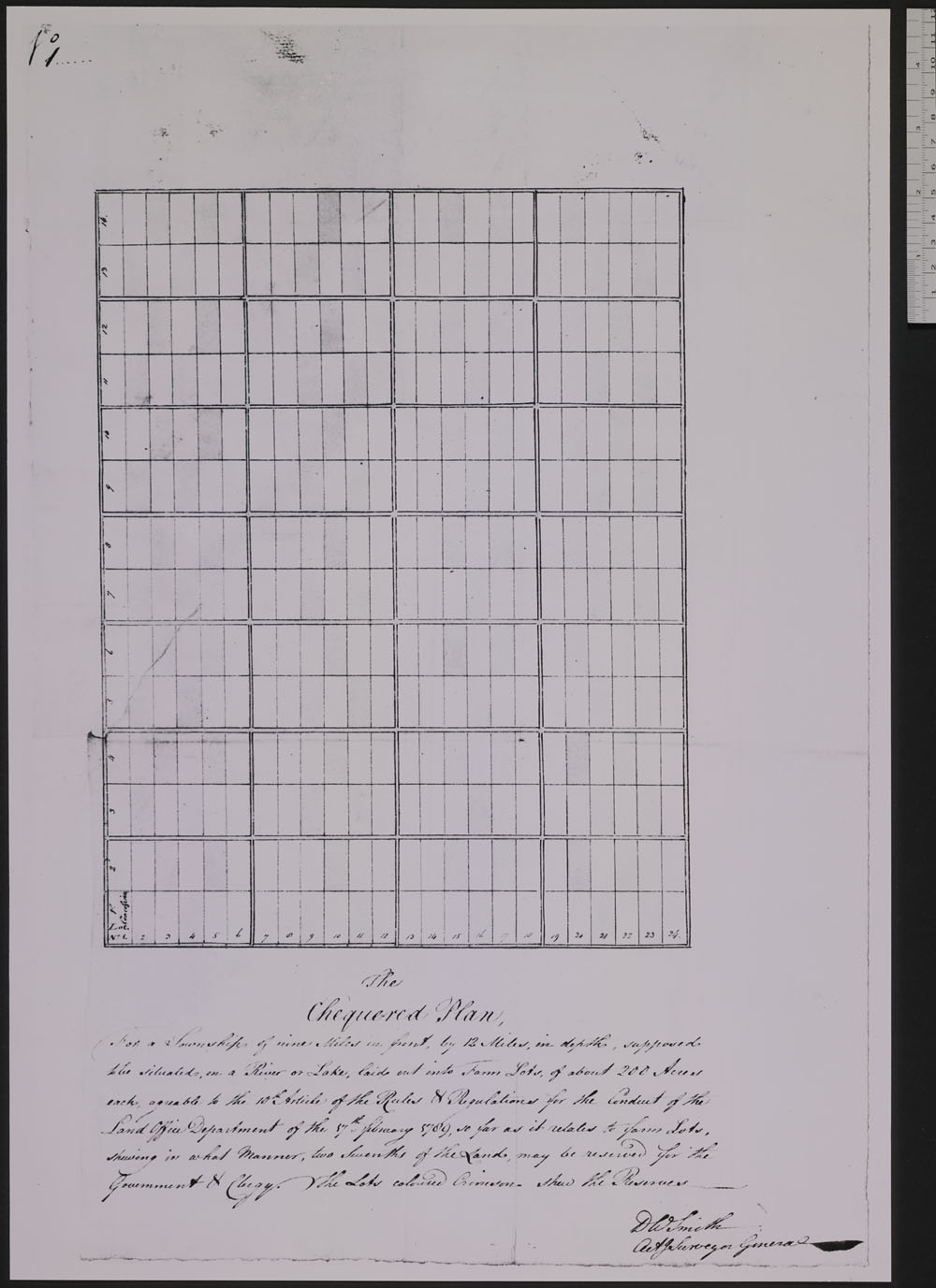
Item #: 87 of 87, Title: The chequered plan for a township of nine miles in front by 12 miles in depth supposed to the situated on a river or lake laid out into farm lots of almost 200 acres each agreable to the 10th Article of the Rules & Regulations for the conduct of the Land Office Department of the 17th February 1789 so far as it relates to farm lots shewing in what manner two sevenths of the land may be rese 17 Feb 1789
Gallery: Maps, Plans and Charts @ LAC (mapschartsplans-1)
From LAC: Maps, Plans and Charts, Page 6, 1100 - General maps Canada cartographic material architectural drawing.
General maps Canada cartographic material architectural drawing.