Next Previous First Last Thumbnails
Next Previous First Last Thumbnails
Url: http://data2.archives.ca/e/e097/e002418659.jpg
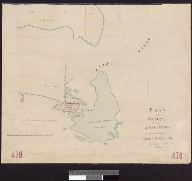
Item #: 84 of 87, Title: Plan of islands in the River Ottawa situate between the Chats & du Chene Lakes. Surveyed Js. T. Robertson Provl. Land Surveyor 1852. cartographic material 1852
Gallery: Maps, Plans and Charts @ LAC (mapschartsplans-1)
From LAC: Maps, Plans and Charts, Page 6, 1100 - General maps Canada cartographic material architectural drawing.
General maps Canada cartographic material architectural drawing.