Next Previous First Last Thumbnails
Next Previous First Last Thumbnails
Url: http://data2.archives.ca/e/e432/e010783569-v8.jpg
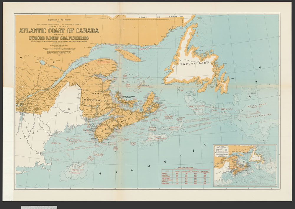
Item #: 56 of 87, Title: Map of the Atlantic coast of Canada showing inshore & deep sea fisheries. Natural Development Bureau. Ottawa Department of the Interior & Department of Fisheries 1932. cartographic material 1932
Gallery: Maps, Plans and Charts @ LAC (mapschartsplans-1)
From LAC: Maps, Plans and Charts, Page 6, 1100 - General maps Canada cartographic material architectural drawing.
General maps Canada cartographic material architectural drawing.