Next Previous First Last Thumbnails
Next Previous First Last Thumbnails
Url: http://data2.archives.ca/e/e097/e002418680.jpg
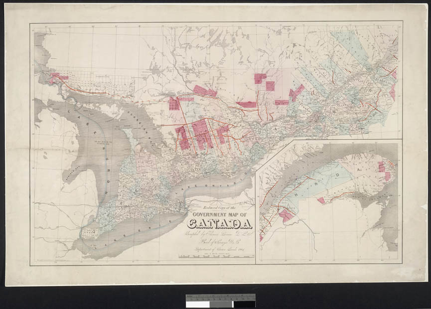
Item #: 47 of 87, Title: Reduced copy of the government map of Canada compiled by Thomas Devine P.L.S. Head of Surveys U.C. Department of Crown Lands 1861. Rae Smith Engraver & Printer 71 Nassau Str. New York U.S.A. cartographic material 1861
Gallery: Maps, Plans and Charts @ LAC (mapschartsplans-1)
From LAC: Maps, Plans and Charts, Page 6, 1100 - General maps Canada cartographic material architectural drawing.
General maps Canada cartographic material architectural drawing.